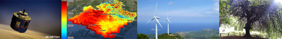
Observation, Impacts, Energie
Observation, Impacts, Energy
Observation, Impacts, Energy
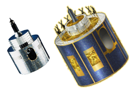
These libraries, in C, are for computing the geometry of the satellite (elevation, azimuth) with respect to the pixel, and to convert latitude - longitude into satellite co-ordinates row - columns and vice-versa. These software codes are available under a Creative Commons license (CC-BY). ![]()
The library "msg_geom_lib.c" is valid for the satellites Meteosat Second Generation (Meteosat-8 and followings). It comprises the following items:
The library "meteosatlib.c" is valid for the satellites Meteosat-1 up to -7. There are two Meteosat products treated in the library:
The library "meteosatlib.c" comprises the following items:


Ecole
240 ans de recherche et de formation
Vidéo : 240ans de recherche…
> En savoir +
Formation
Mines Paris plébiscitée par ses étudiantes
Mines Paris - PSL, une école qui répond…
> En savoir +

Formation
Femmes de science
Chercheuses confirmées, doctorantes, élèves ou alumni,…
> En savoir +

Formation
Quelle école d’ingénieurs a le…
Mines Paris - PSL au Top 5 du classement LinkedIn 2023…
> En savoir +
Formation
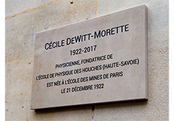
En l'honneur de Cécile DeWitt-Morette
Claude Ribbe (Mairie du 6e arrondissement), Armand Hatchuel…
> En savoir +

Formation
Classement "Employabilité" THE 2022
Dans l'édition 2022 du Global Employability…
> En savoir +


 Back to Software